Incidents involving heavy radiation leakages are quite difficult to monitor as they pose serious threat and hazard to all personnel who have to come close to it. That’s why robots are perfectly suited for this job.
The Fukushima incident, resulting from a tsunami which followed an earthquake, is considered by nuclear energy experts the most serious since Chernobyl disaster, back in 1986.
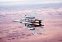
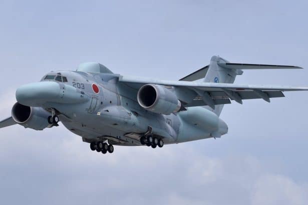
In order to gather exact figures of the radiation levels around the nuclear power plant damaged on Mar. 11, 2011, Japan has recently used a twin-tailed UAV (Unmanned Aerial Vehicle) for the first time.
The little remotely piloted plane is stationed in Naime, about 4 miles from the Fukushima plant. The flights over the plant last about 30 minutes: during each mission, the drone provides real time data about the radiation level to the scientists.
[Read also: WC-135 in action following DPRK test: how the U.S. Air Force Sniffs for Nuclear Explosions]
The new UAV is a joint initiative of Japanese Atomic Energy Agency and Japanese Space Exploration Agency. It is still in the testing phase, which is expected to end by December 2014; full use is planned in the beginning of 2015 at the latest.
Up until now, the Fukushima plant has been monitored by small multi-rotor UAVs and manned helicopters: the latter are usually far better equipped than lightweight UAVs but, whereas choppers have to maintain a minimum altitude of 1,000 feet above the ground, a drone may fly as low as needed and stay in the radiated area for longer periods without exposing crew members to the deadly effects of radiations.
Jacek Siminski for TheAviationist
Image credit: Japanese Atomic Energy Agency (JAEA)
Related articles